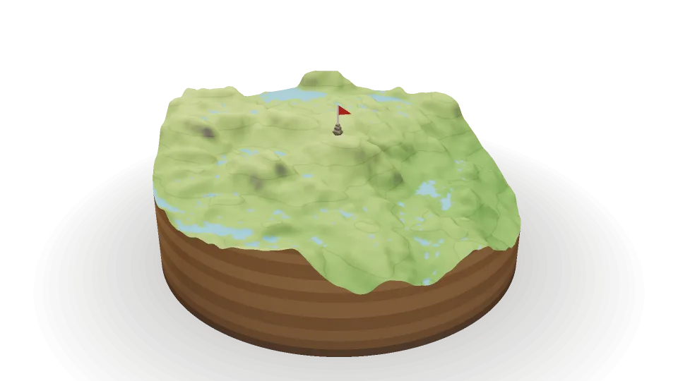
Skip to the list of places on the map
Svonuten
1,280 m
Terrain © Kartverket
Svonuten
Norway
›
Agder
›
Bykle
Landscape Protection Area:
Setesdal Vesthei Ryfylkeheiane
Overview
Photos
1,280
m
Elevation
The summit
On the summit
Trig point
Details from
OpenStreetMap
, checked October 23, 2026.
Details
Coordinates
59.52636° N, 7.04100° E
Distance (straight line)
Use my location
Directions in Google Maps
Data sources